NILE RIVER MAP
About Nile River Basin Map
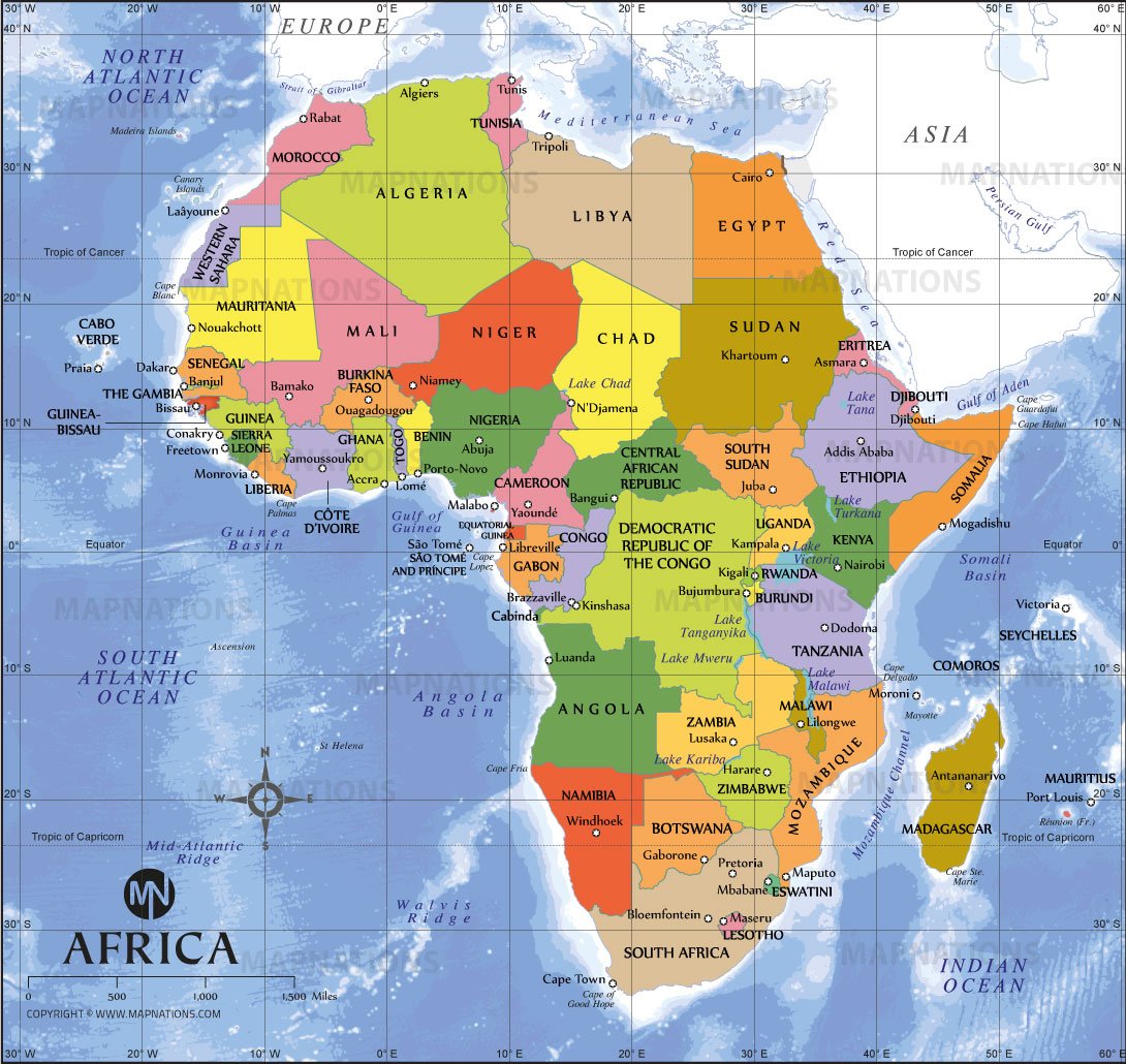
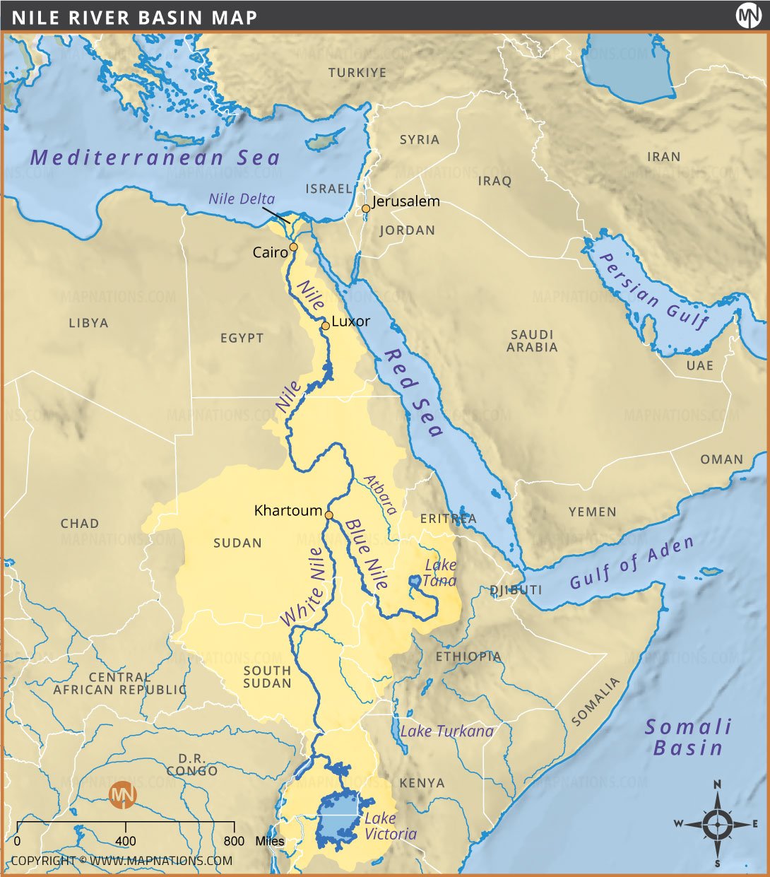
This Nile River map highlights the world’s longest river flowing northward through eastern Africa into the Mediterranean Sea. It shows the river’s two main tributaries — the White Nile and Blue Nile — and their confluence at Khartoum, Sudan. The map covers major countries in the Nile Basin such as Egypt, Sudan, South Sudan, Ethiopia, Uganda, and Kenya. Important geographical features like Lake Victoria, Lake Tana, and the Nile Delta are also displayed. The map provides a clear understanding of the river’s path, surrounding nations, and its crucial role in the region’s agriculture, civilization, and economy.
