Sahel Region Map

About Sahel Region Map
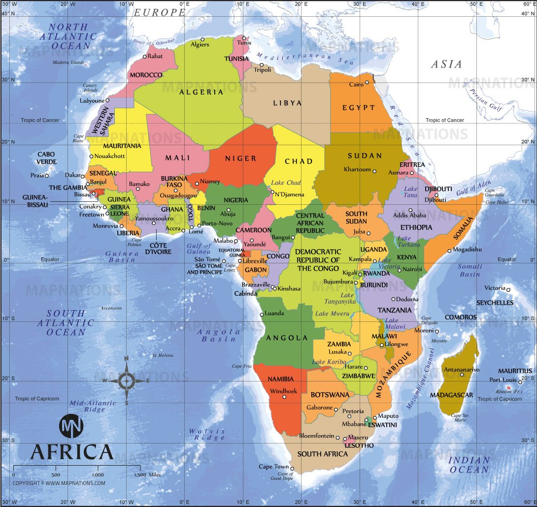
This map highlights the Sahel region of Africa, a semi-arid transitional zone stretching across the continent between the Sahara Desert and the savannas to the south. The highlighted belt includes countries such as Senegal, Mali, Burkina Faso, Niger, Chad, and Sudan. The Sahel plays an important role in environmental, economic, and geopolitical discussions due to climate change, desertification, migration, and security challenges. This map provides clear geographic context for understanding the Sahel’s location within Africa.