Great Lakes Map
About Great Lakes Map
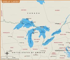
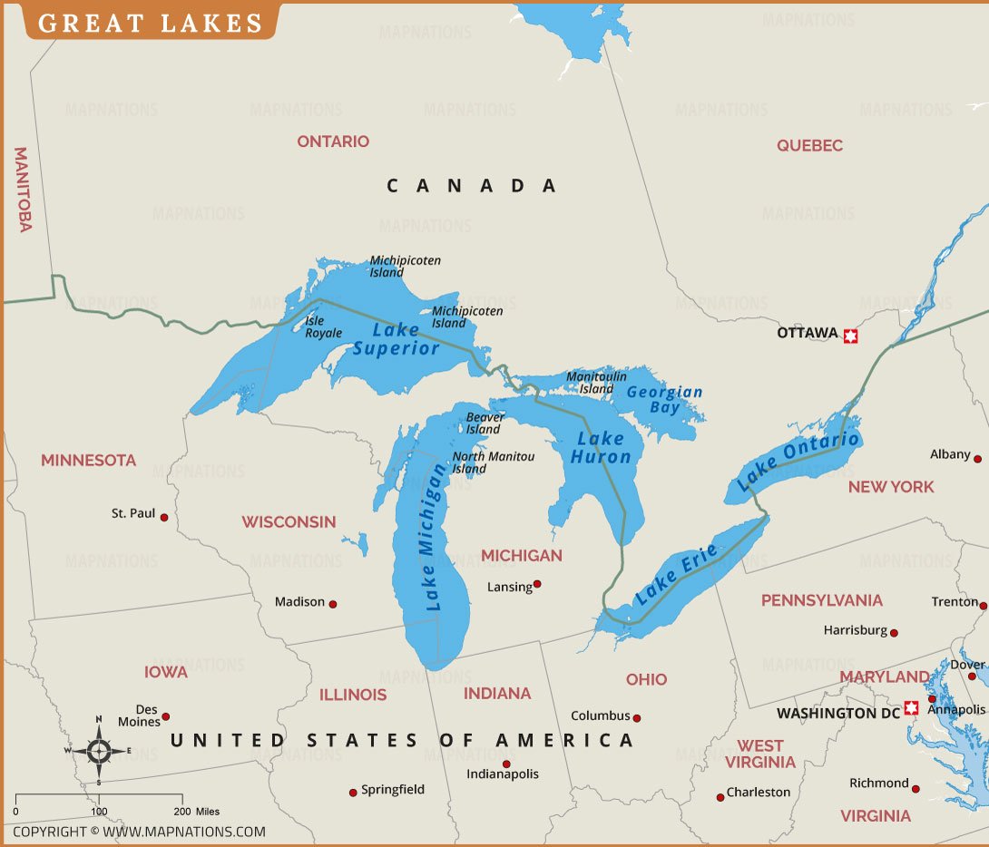
The Great Lakes Map displays the five largest freshwater lakes in North America: Lake Superior, Lake Michigan, Lake Huron, Lake Erie, and Lake Ontario. Shared by the United States and Canada, these lakes form the world's largest group of freshwater lakes by surface area. This map clearly highlights the surrounding states and Canadian provinces, major cities, international borders, and important waterways connecting the lakes. It is an excellent resource for students, teachers, travelers, researchers, and geography enthusiasts who want to understand the region's physical features. The Great Lakes support millions of people through shipping, fishing, tourism, recreation, and freshwater resources. Whether you are studying North American geography or planning a trip, this high-quality printable map provides an easy-to-read and detailed overview of one of the world's most significant freshwater systems.