WEST ASIA MAP

About West Asia Map
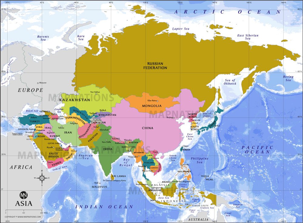
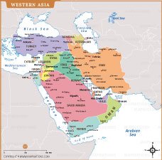
This Western Asia political map illustrates the countries, capitals, and major cities across the Middle East region with clearly defined international boundaries. The map highlights nations such as Saudi Arabia, Iran, Iraq, Turkey, Syria, Jordan, Israel, and Gulf countries including the United Arab Emirates, Qatar, Bahrain, Kuwait, and Oman. Important water bodies like the Mediterranean Sea, Red Sea, Persian Gulf, and Caspian Sea are also labeled for geographic reference. Designed for educational, research, and presentation purposes, this map provides a clear understanding of regional geography, political divisions, and strategic locations, making it useful for students, analysts, and map enthusiasts studying Western Asia.