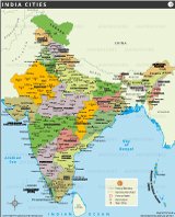
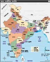
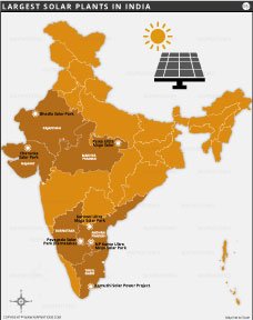
INDIA HINDI MAP भारत का राजनीतिक मानचित्र

यह भारत का हिंदी में राजनीतिक मानचित्र है, जिसमें सभी राज्यों, केंद्र शासित प्रदेशों और उनकी सीमाओं को दर्शाया गया है। इसमें राज्य और राजधानी के नाम, प्रमुख जल निकाय, और पड़ोसी देशों की सीमाएं भी शामिल हैं। यह मानचित्र अध्ययन और भौगोलिक जानकारी के लिए उपयोगी है।
This is the political map of India in Hindi, showing all the states, union territories and their boundaries. It also includes the names of the state and capital, major water bodies and boundaries with neighboring countries. This map is useful for study and geographic information.
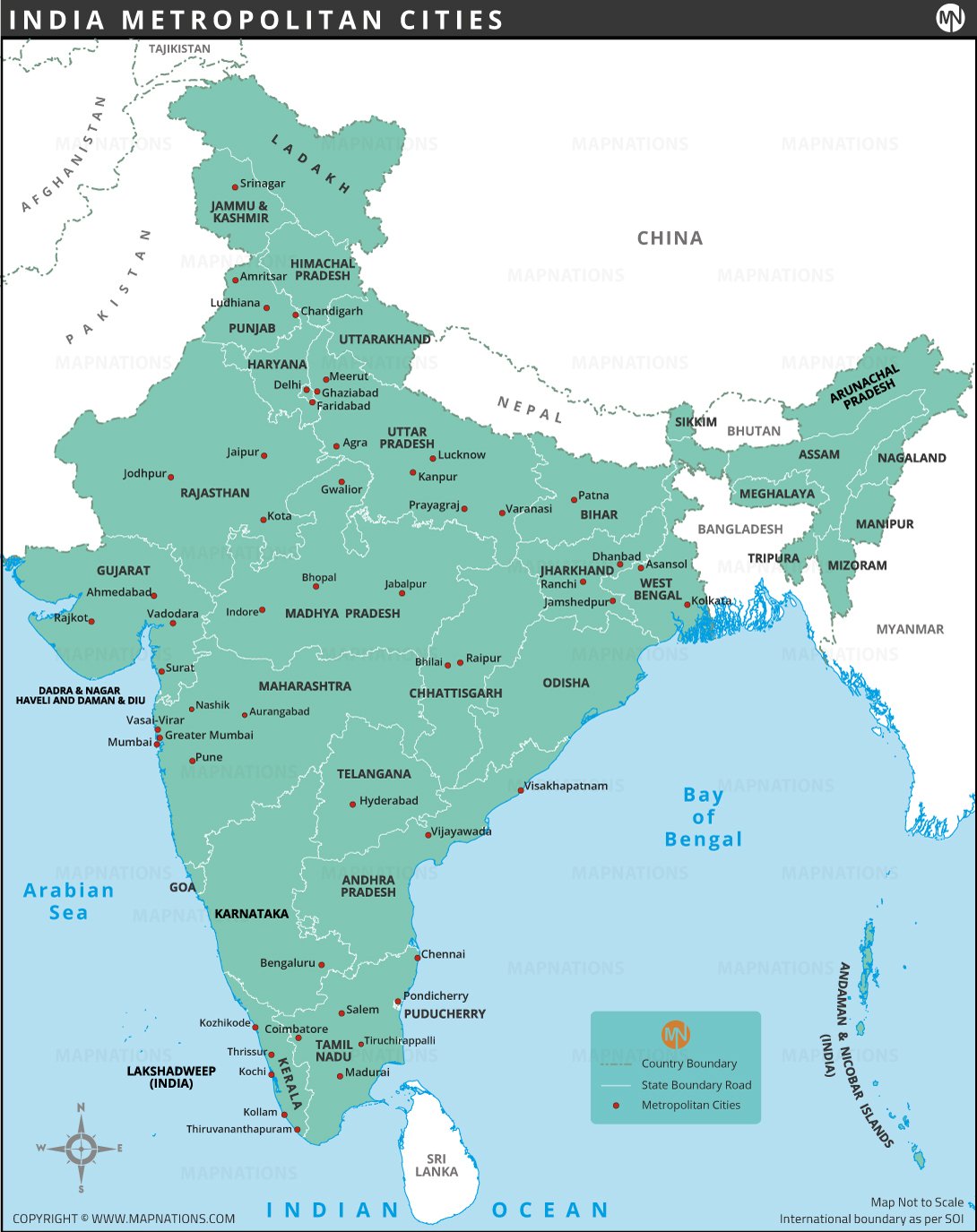
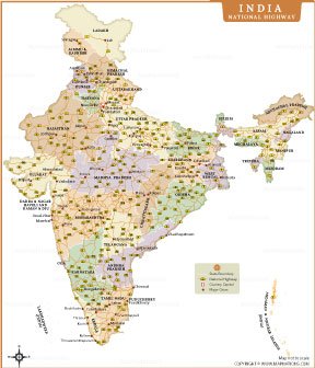
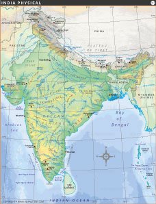
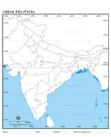
INDIA MAPS